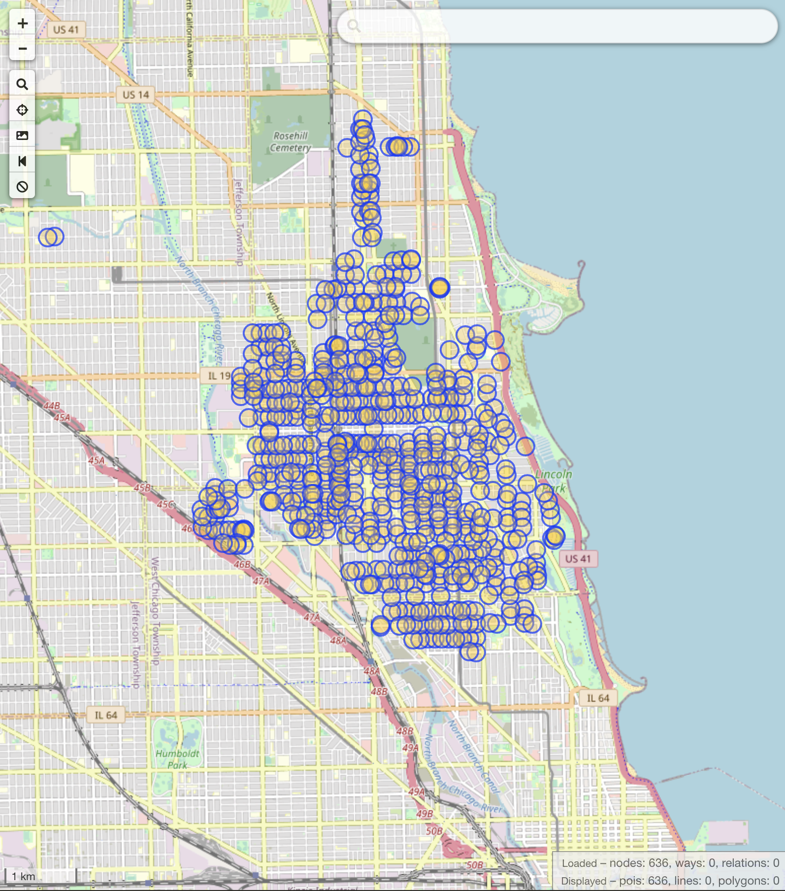
Mapping 636 stop signs on OpenStreetMap
Lately one of my hobbies has been mapping stop signs on OpenStreetMap. The Chicago area has huge gaps in its network of stop signs. This lack of coverage affects mapping and vehicle routing solutions that rely on OSM data, including routing tools for cyclists. Apps like Strava, Ride With GPS, Komoot, and more all rely on OpenStreetMap data to power their routing algorithms. And if the data isn’t up-to-date, the routes can be odd or unexpected.
So I’ve started adding stop signs to Chicago’s street map, 636 of them (so far). I think the goal is to eventually have all the city’s stop signs mapped, and to use that data to power a custom routing engine for bikes in the city. Roads with a higher concentration of stop signs usually feel safer to me. Some stop sign types, like stop=minor need to be avoided as they are particularly dangerous intersections. Hopefully this map data can help folks out and make the community safer.